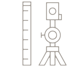
Topographical surveys.
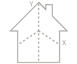
Fitting and staking out of works.
Earthworks.
Execution and technical assistance (linear works, civil works, building).
Implementation and adjustment of base networks.
Creation of As-Built plans.
Auscultation (deformation control in walls, structures, buildings).
Topographical consultancy and technical advice).
Environmental cartography.
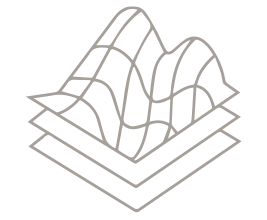
Digital land, surface and elevation models.
Implementation, management and exploitation of Geographic Information Systems (GIS).
Thematic cartography.
Bathymetry.
Photogrammetry (photogrammetric flights, measurement of support points for photogrammetric restitution, orthophotos).
Terrestrial scanner.
Georeferencing certification.
Measurement of properties.
Demarcation and demarcation.
Reparcelling.
Segregations.
Differential study between registry and cadastre.
Verification of expropriations.
Certificados energéticos.
Wind farms.
Photovoltaic farms.
Solar thermal farms.
Layout and printing of 3D digital terrain models.